
Regional Urban Development Authority
March 2025
Geospatial Software Development
$55,000 USD
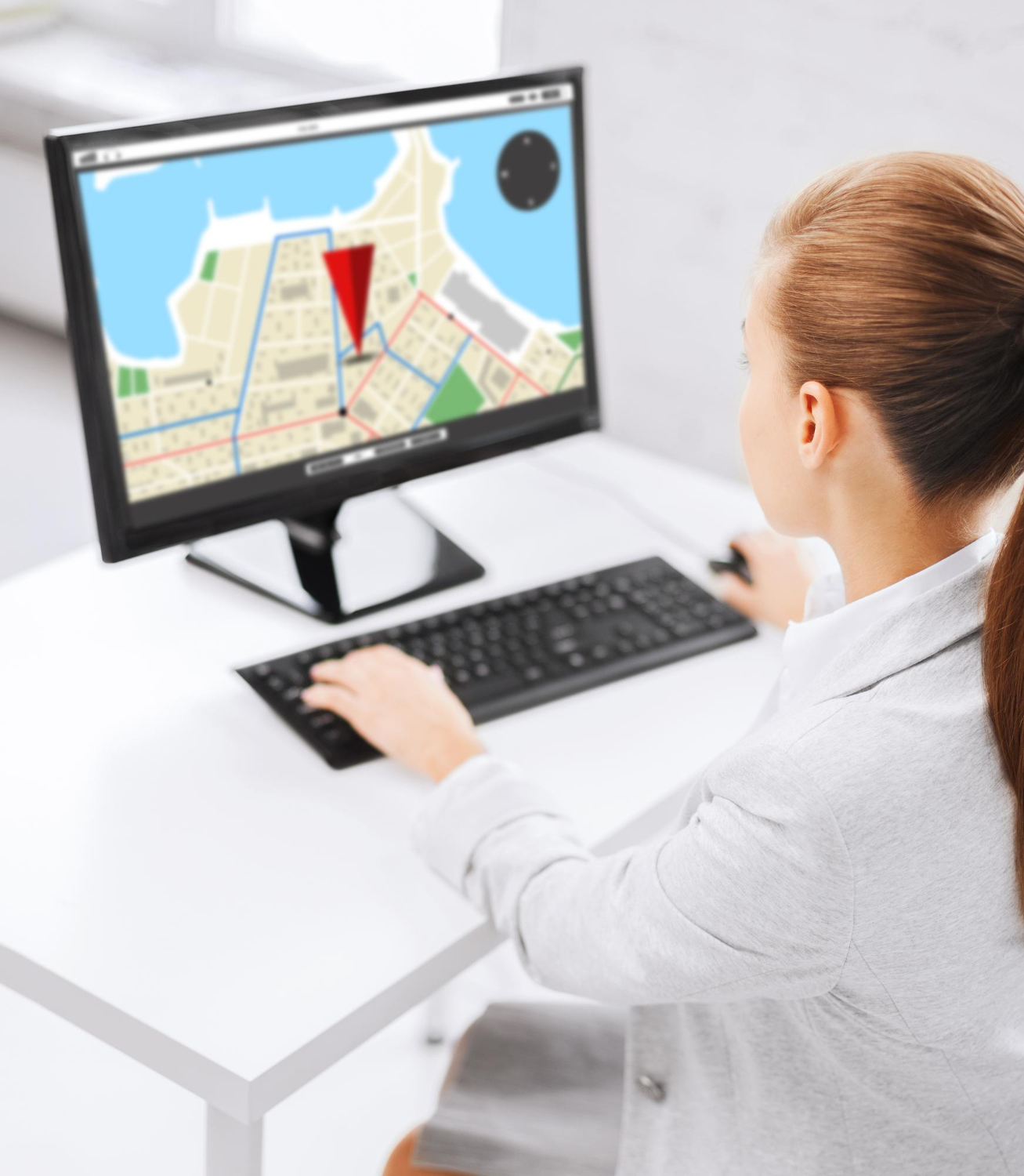
GeoGlobalTech collaborated with a regional planning authority to develop a custom Geospatial Software Solution tailored to their urban infrastructure and zoning analysis needs. The project aimed to digitize and automate spatial data processing, map generation, and reporting—enhancing decision-making, reducing manual workflows, and streamlining cross-departmental collaboration.
The client required a user-friendly, web-based GIS application that could handle spatial queries, perform real-time data visualization, and integrate with external databases and IoT sensors. The goal was to centralize geographic data management and empower users—from planners to field surveyors—with interactive mapping and analysis tools. GeoGlobalTech was tasked with the full-cycle development of the platform, including system architecture, UI/UX design, and backend functionality.
Our approach combined agile software development practices with robust geospatial technologies to create a scalable, efficient solution. We focused on usability, performance, and seamless integration with existing systems.
Here’s the strategy we followed:

The final software solution significantly improved the planning authority’s spatial data operations. Users could now generate reports in minutes, visualize zoning updates interactively, and make collaborative decisions across departments. GeoGlobalTech’s custom solution helped digitize legacy workflows and empowered the client with cutting-edge geospatial capabilities.
Leverage cutting-edge geospatial intelligence and proven expertise to elevate your operations and drive smarter, data-driven decisions.

Our clients consistently rate us highly for delivering reliable, innovative, and results-driven geospatial solutions.
Delivering innovative, data-driven geotechnical and geospatial services worldwide — with the trusted expertise of Global GeoSoft.
Backed by the legacy of Global GeoSoft, GeoGlobalTech delivers trusted geoscience and geospatial solutions built on decades of industry experience.
We embrace emerging technologies and tailor solutions to meet the evolving needs of diverse industries across the globe.
From geospatial analysis to data integration and modeling, we offer end-to-end services that drive informed decision-making.
Our expert team provides personalized, responsive support to ensure your projects run smoothly from start to finish.
Our clients are our greatest advocates, and their success stories speak volumes about the value we bring to every project.

Our clients consistently rate us with top marks for excellence, trust, and impactful results in every project we undertake.

Director of Operations, Urban Innovations Inc.
GeoGlobalTech’s innovative geospatial solutions have revolutionized our urban planning projects. Their team not only delivered on time but exceeded our expectations, ensuring precision in every phase.

Global Infrastructure Solutions
The geotechnical modeling services from GeoGlobalTech have been a game-changer for our infrastructure projects. Their simulations allowed us to plan with confidence, reducing unforeseen risks and enhancing project efficiency.

Environmental Consultant, Green Earth Consulting
GeoGlobalTech’s environmental impact assessments provided us with the critical insights needed for sustainable development projects. Their expertise is unparalleled, and they have become an essential partner in our efforts.
Stay updated with the latest geospatial innovations, industry insights, and GeoGlobalTech news directly in your inbox.
Sign up today to never miss an update!

GeoGlobalTech continues the legacy of Global GeoSoft by delivering cutting-edge GIS and WebGIS solutions. Focused on spatial intelligence and innovation, we empower smarter decisions across industries.
We’re available Monday to Friday, 09:00 AM to 05:00 PM, to support your geospatial and geotechnical needs.